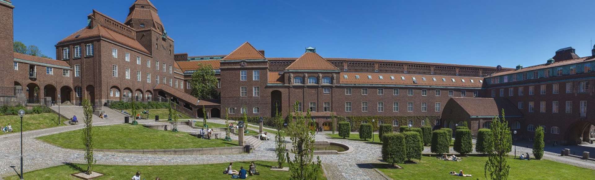
KTH Royal Institute of Technology
MSc Transport and Geoinformation Technology
Stockholm, 瑞典
理学硕士
期间
2 年
语言
英语
步伐
全职
报名截止日期
最早开始日期
Aug 2026
学费
SEK 360,000 *

学习形式
在校园
* non-EU/EEA/Swiss is 342,000 SEK.
Functional and environment-friendly transport systems are vital in a sustainable society. Students gain expertise in transport and geoinformation technology and learn how to plan, build and maintain advanced transport systems. Graduates blend practical data collection and modelling skills with an interdisciplinary understanding of transport and geoinformation that lead to job opportunities in various sectors.
Transport and Geoinformation Technology at KTH
The master's programme combines two closely related aspects of the built environment: transport systems and geoinformation technologies. The programme enables you to either specialise in one of these main subjects or develop an individual interdisciplinary study plan tailored to your unique background and interests. The recommended courses form a foundation for both subject areas, and you can choose a subject area by selecting the most appropriate sequence of elective courses. Most courses combine interactive lectures with laboratory work. Many also include an in-depth semester project. The courses make use of modern data collection instruments and quantitative modelling and processing software.
In the final semester degree project, students apply their acquired knowledge and skills in solving scientific problems in the main subject areas of the programme. You conduct independent investigations characterised by critical analysis and synthesis; they learn to analyse, formulate and define scientific problems, find and evaluate possible solutions and present the results in a thesis. In addition, you will gain practical training in scientific communication and presentation, both orally in seminars and written form. You can carry out the degree project at KTH or in a company or organisation outside the university. The topic is developed by you alone or together with supervisors.
Transport systems
Transport systems deal with the movement of people and goods across space and the socio-technical systems that support that movement. Skilled transport engineers and planners must combine elements of engineering, planning, economics, and systems analysis, to guide how transport systems should be designed, built, operated, and evaluated. As a specialist in transport, you will learn how to analyse complex transport networks in which the goal is for people to carry out their daily activities in ways that support economic activity while minimising environmental impacts.
To grapple with the complexity of modern transport systems, transport planners and engineers need a high level of technical competence, but at the same time need to engage with policy-makers, stakeholders and the public who use the transport system to ensure that our solutions truly meet societal needs. Finally, we work across disciplinary boundaries to fully appreciate the possible effects of the transport system on urban development, the economy, and climate and ecological systems.
In the study of transport, we emphasise a systems approach that helps us manage the complexity of transport networks and provide information that allows society to make the best decisions about investing resources in long-lasting transport infrastructure. Nearly all of our graduates find a career in a city, regional government, national administration, transport ministry, as a consultant at a private firm, or as a researcher.
Geoinformation technology
Geoinformation technology, also known as geospatial technology or geomatics engineering, is a science dealing with acquiring, storing, managing, analysing, and delivering geographic and spatially referenced information. Knowledge of the built and natural environment in the form of maps and databases is necessary for almost all fields of human activities. Today, we take it for granted that we use GPS receivers built into mobile phones or installed in cars to find our way to the restaurant, cinema or address that we have "googled". Professionals in disciplines such as urban planning, land administration, real estate registration and many others use maps, city models and spatial databases for decision support. Geoinformation technology is not only about collecting geographical data and its visualisation; it also provides tools for using and interpreting the data for different kinds of analysis, for example, finding optimal routes, identifying patterns and making predictions.
Geoinformation technology is a perfect choice if you are interested in applied mathematics and computer science. You will learn, both theoretically and practically, how to acquire geographic data using different sensors or data sources and how to perform processing and analysis to be able to produce the required solution and its visualisation. Today's and tomorrow's labour markets are growing in this sector and need experts like you. You can work as a provider, analyst or user of spatial data and geoinformation technologies in private companies and governmental agencies.
This is a two-year programme (120 ECTS credits) given in English. Graduates are awarded the degree of Master of Science. The programme is given mainly at KTH Campus in Stockholm by the School of Architecture and Built Environment (at KTH).
- 运输计划
- 交通模拟
- 运输经济学
- 铁路交通和信号系统
- 后勤
- 地理数据收集:遥感,GNSS,激光扫描
- 储存
- 结构化
- 地理数据的可视化和分析
KTH为硕士学习提供四种不同的奖学金机会。 KTH奖学金涵盖一年或两年硕士课程的学费。 KTH一年期奖学金针对目前KTH硕士课程的学生,涵盖第二年的学费。 KTH联合项目奖学金针对某些联合项目的学生,涵盖在KTH学习期间的学费。 KTH印度奖学金专门针对来自印度的学生。
- KTH奖学金
- KTH一年期奖学金
- KTH联合项目奖学金
- KTH印度奖学金
瑞典学院
瑞典学院 (SI) 为来自目标国家来到瑞典的学生提供多种奖学金。
KTH相关奖学金组织
KTH与以下组织合作,为未来的KTH学生提供奖学金机会。
- COLFUTURO(Programa Crédito Beca)针对来自哥伦比亚的学生
- 面向印度尼西亚学生的 LPDP(印度尼西亚教育捐赠基金)
- FUNED 为来自墨西哥的学生
奖学金门户网站
IEFA数据库
IEFA 数据库提供全面的奖学金搜索、助学金列表和国际学生贷款计划。
学习门户
Studyportals 奖学金数据库列出了全球 1,000 多个为申请在欧盟学习的学生提供的奖学金和助学金。
学者4dev
发展奖学金是向发展中国家学生开放的奖学金数据库。
我们造学者
WeMakeScholars 帮助印度学生从银行和非银行金融机构获得教育贷款。他们还列出了来自不同信托、基金会和政府的 26,000 多项国际奖学金。身体。
美国学生贷款的延期
KTH是美国教育部认可的机构,拥有 Title IV“仅限延期”状态(OPE ID 03274300)。美国学生在就读KTH硕士课程期间可以推迟现有联邦学生贷款账户的付款。 “仅延期”状态不允许学生申请联邦学生贷款在KTH就读。然而,该认证为美国学生提供了助学金和贷款机会,因为美国许多私人学生贷款机构都将此指定作为发放新贷款的要求。希望推迟付款的学生必须联系他们在美国的贷款机构。
提供奖学金。请检查学院的网站以获取更多信息。
确保可持续发展和防止气候变化是人类的首要任务。如果没有组织良好、运作良好和环保的交通系统,就无法实现这一目标。实际和最新的地理数据库是规划、设计和建造所有必要基础设施的先决条件。私营和政府部门对运输系统和地理信息技术方面的专家的需求很大。
毕业生就业机会的例子包括:
- 地理信息分析师:在国家测绘和制图机构(例如瑞典的 Lantmäteriet)收集、分析和报告地理空间数据。
- 交通规划师/建模师:帮助城市、地区政府或国家行政部门规划、设计和运营交通系统,并分析新开发项目的交通影响以实现可持续性(例如,像 Sweco、WSP、地方政府或国家交通管理局,Trafikverket)。
- 一家私营公司的顾问,范围从测量、测绘和地理信息处理到交通规划和交通工程(例如 Digpro 或 Ramboll)。
- 铁路工程师;对铁路系统进行分析和战略规划,包括基础设施、机车车辆、时刻表管理和旅客信息服务(例如,在 SL、SJ 或其他铁路公司,或国家交通管理局 Trafikverket)。
- 城市规划、土地和资源管理以及环境监测(市政、咨询公司)方面的 GIS 专家。